Special applications
For the needs of academic institutions, universities and private entities LiDAR3D performs on diverse, non-standard applications. They are the basis for innovative research programs.
LiDAR3D participates in scientific ventures, university grants, and private R & D initiatives helping to achieve the set goals.
State forests and National Parks
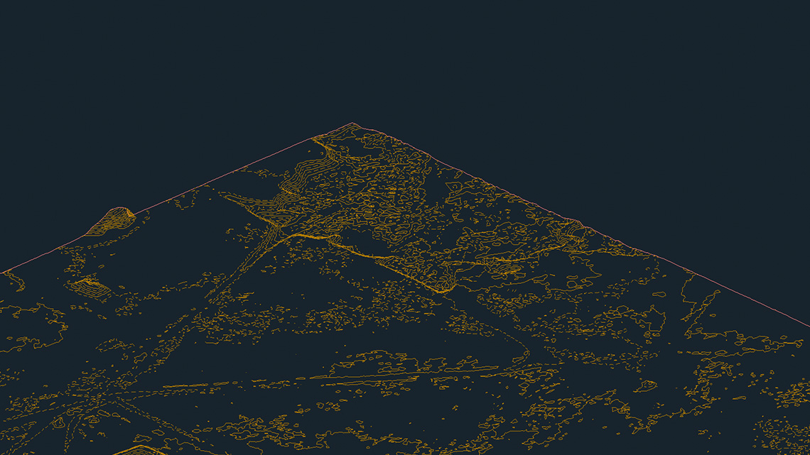
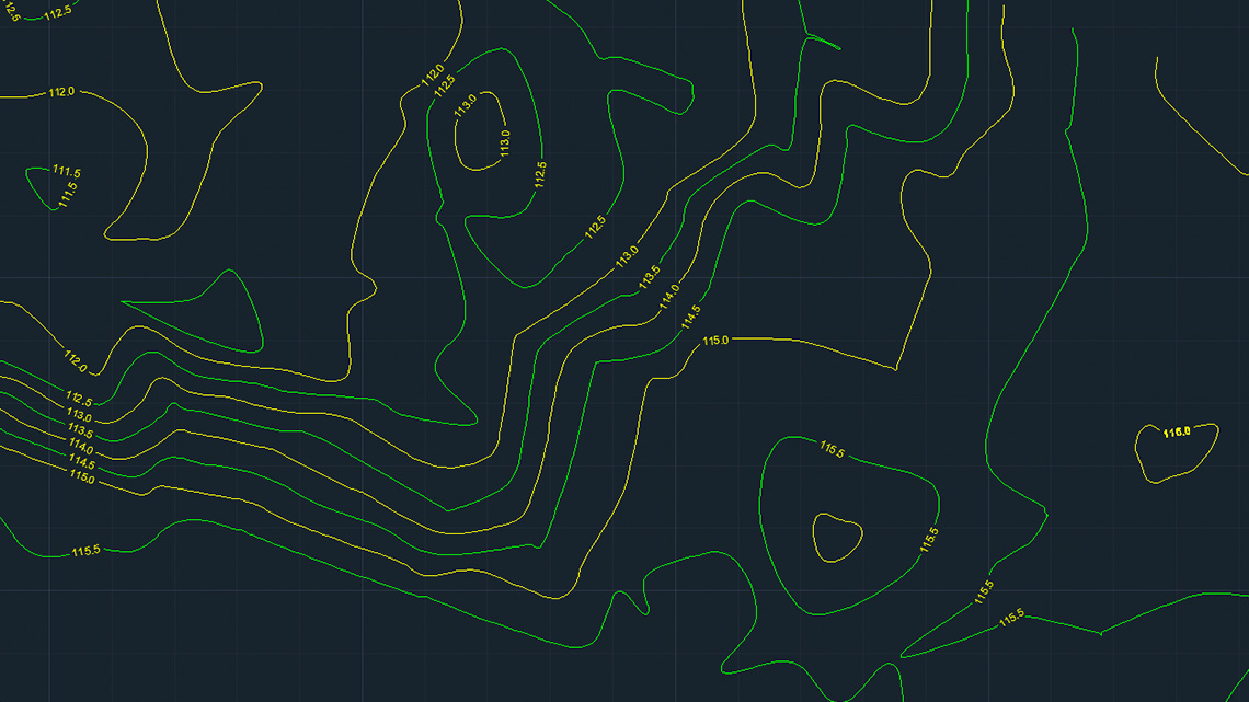
Thanks to the use of aerial laser scanning with a density of 100-500 points/m2, it became possible to determine the wood biomass in the area covered by the flight path. Detailed modeling based on specially created algorithms gives the opportunity to develop a model of individual trees in a defined area. Data analysis and their monitoring in time allow for better planning of forest management and understanding of the forest ecosystem.
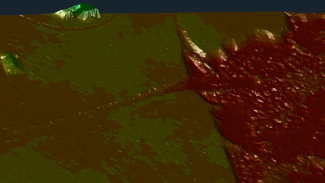
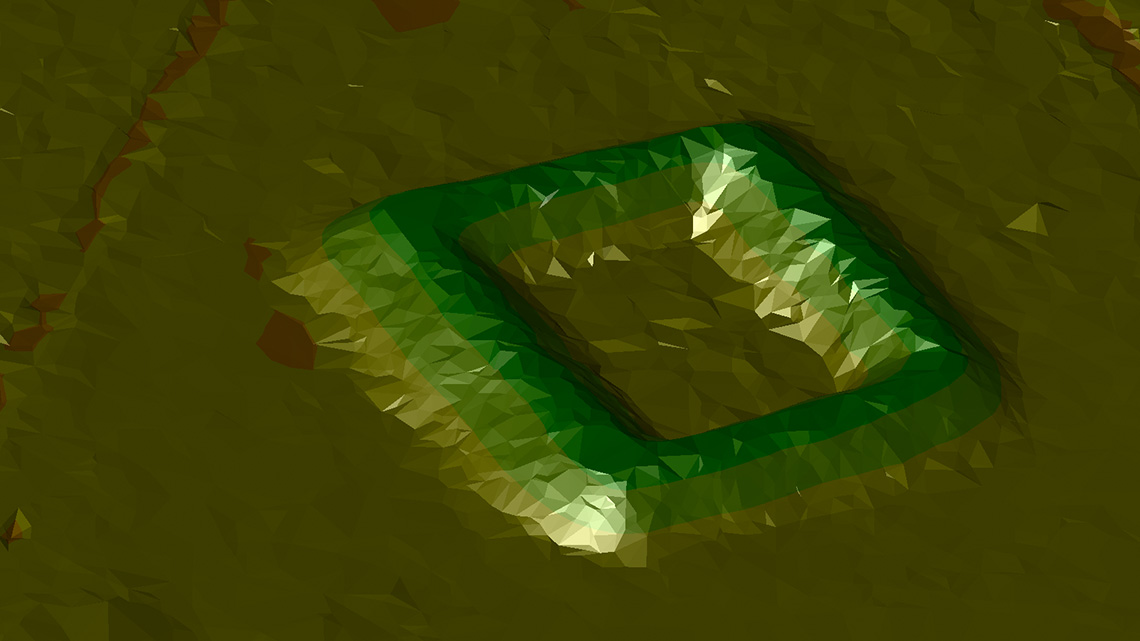
Archeology
Performing exploration raids in densely wooded areas or located in protected areas opens new possibilities for searching for archaeological remnants of past centuries. The high density of data that LiDAR3D offers significantly improves the quality and reliability of archaeological analyzes, facilitates interpretation and enables a properly reliable presentation of results.
Agriculture
Conscious and balanced crop planning more and more often reaches for the development based on laser scanning. Monitoring of large crops using Lidar technology allows rapid analyzes and calculations of biomass increment, resulting in financial and time savings of farmsteads.