Analysis and engineering purposes
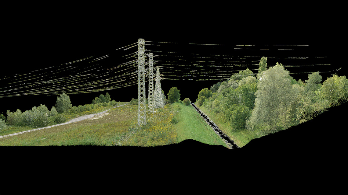
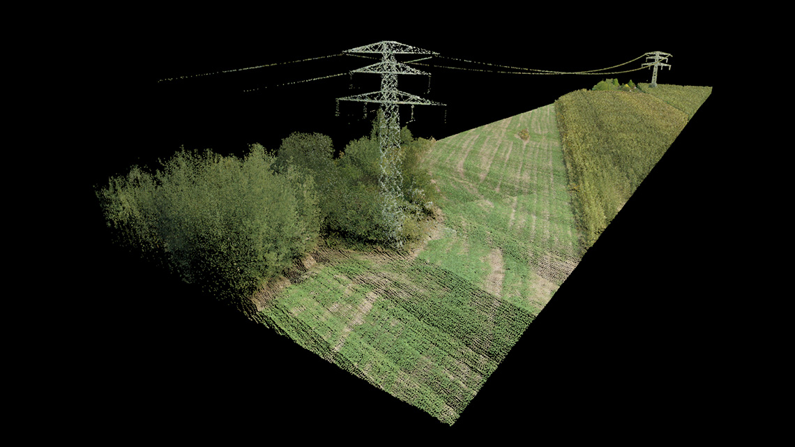
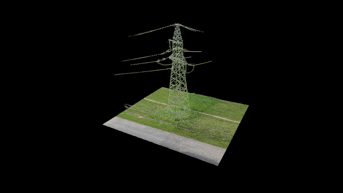
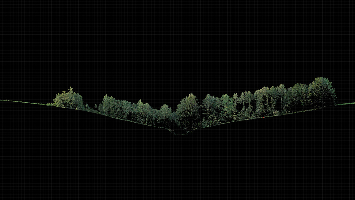
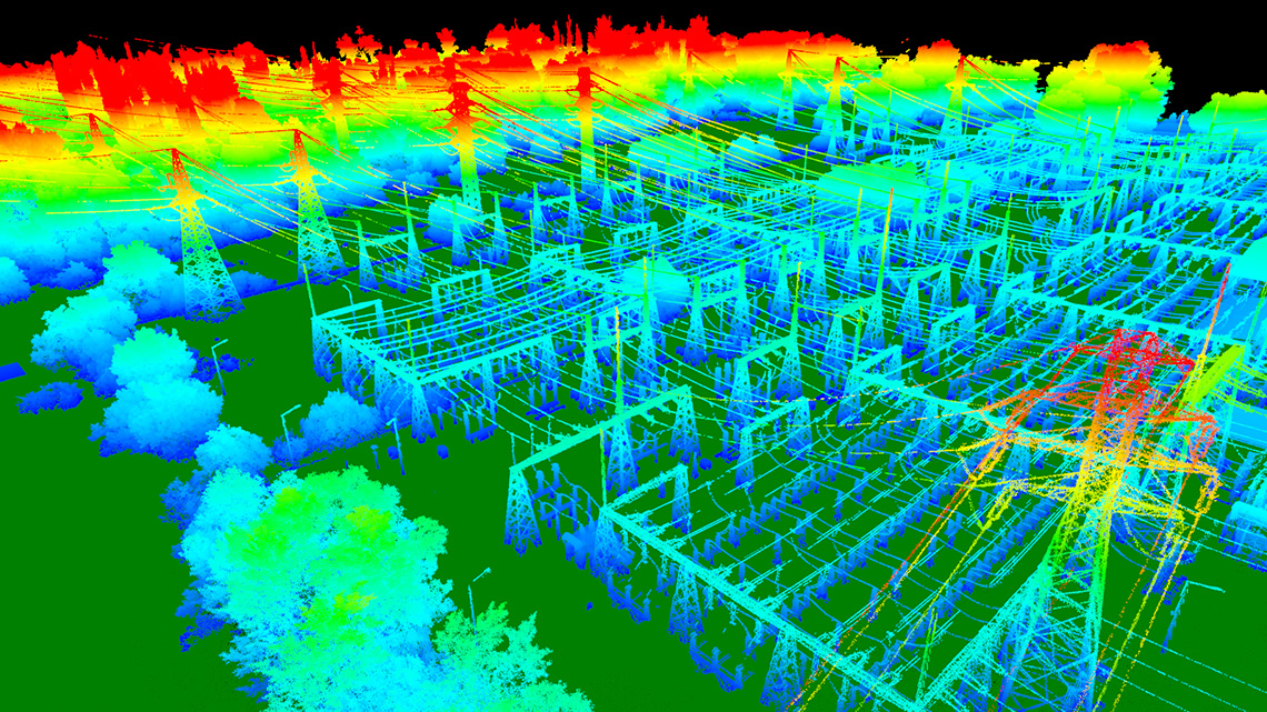
Analysis of detailed data obtained from the high-resolution cloud of points with a density of 100-500 points/m2, created as a result of terrestrial or aerial laser scanning, enables the execution of many complex engineering tasks, that would be impossible or very approximate to implement based on classical measurement methods.
LiDAR3D offers monitoring of spatial deformation of linear and surface objects, which due to their density are continuous on the whole surface. The development of precise maps of hypsometric displacements and deformations enables precise modeling of the object's behaviour over time, without implying interpolation errors in areas poor in information.
Applications:
- engineering structures: cooling towers, chimneys, bridges, tunnels, dams
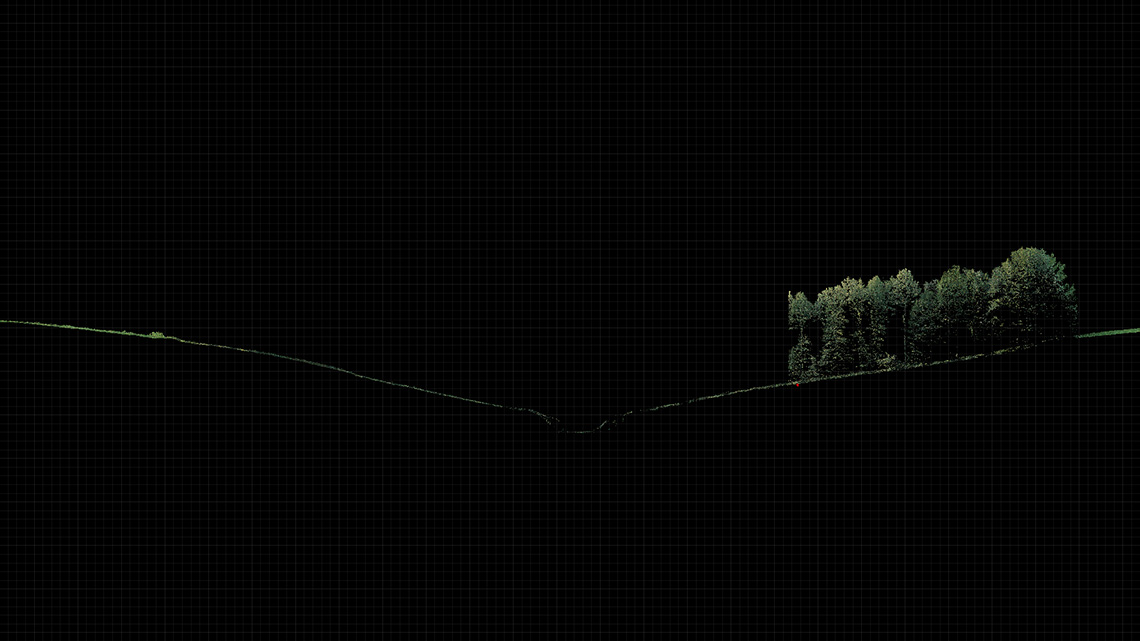
- linear objects: power lines, tracks, embankments
- mining facilities: deposits, excavations, quarry faces
- architectural objects: monuments threatened with destruction
- geotechnical objects: embankments, landslides, dams.