Aerial Laser Scanning
LiDAR3D is a pioneering company on the domestic market and one of only a few in the world with the latest generation UAV measuring platform equipped with an airborne Lidar.
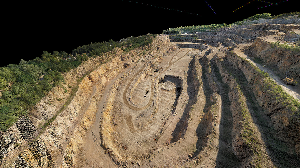
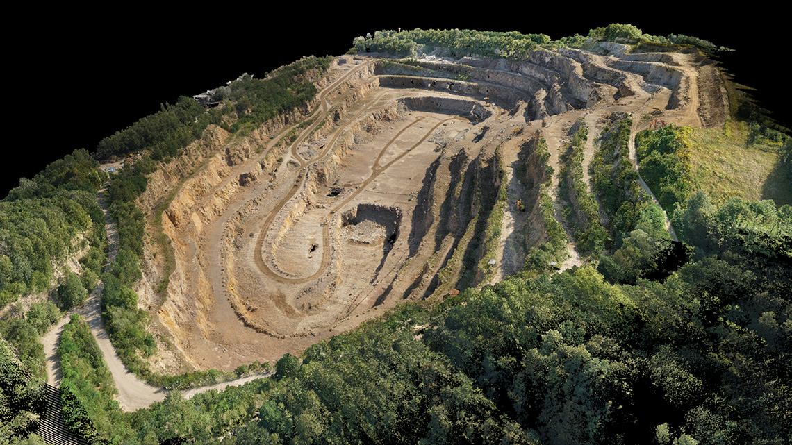
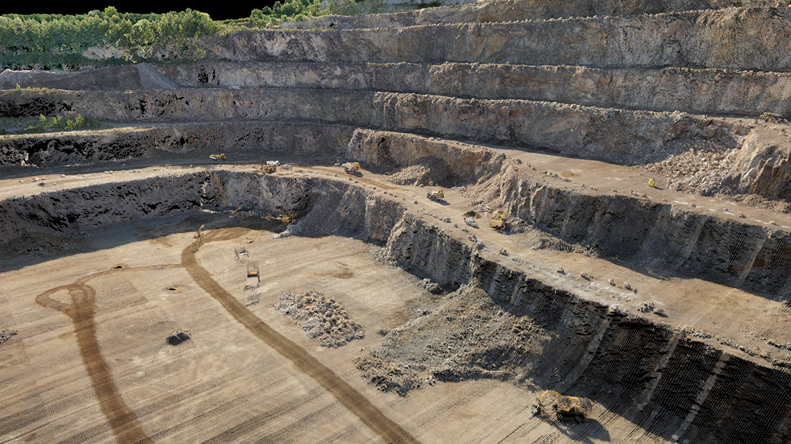
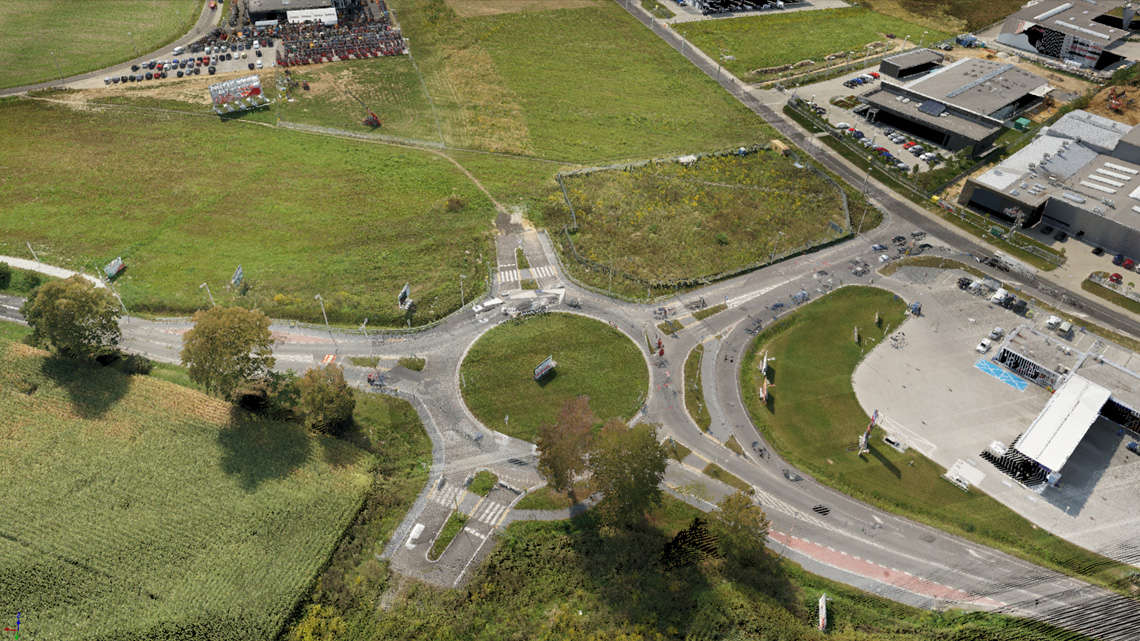
For that reason, we offer high-resolution laser scanning at the geodetic level of accuracy. In contrast to the manned aircrafts available on the market, we are the only ones in Poland to acquire point clouds with an average density of 200-300 points/m2, and for special applications, we can achieve densities exceeding 1000 pt/m2, while maintaining geodetic precision levels.
Data acquired in such a high density, with an addition of information gathered during the flight, such as intensity of reflectance, color, registration of multiple echoes, can be used to perform multifaceted engineering analyzes such as:
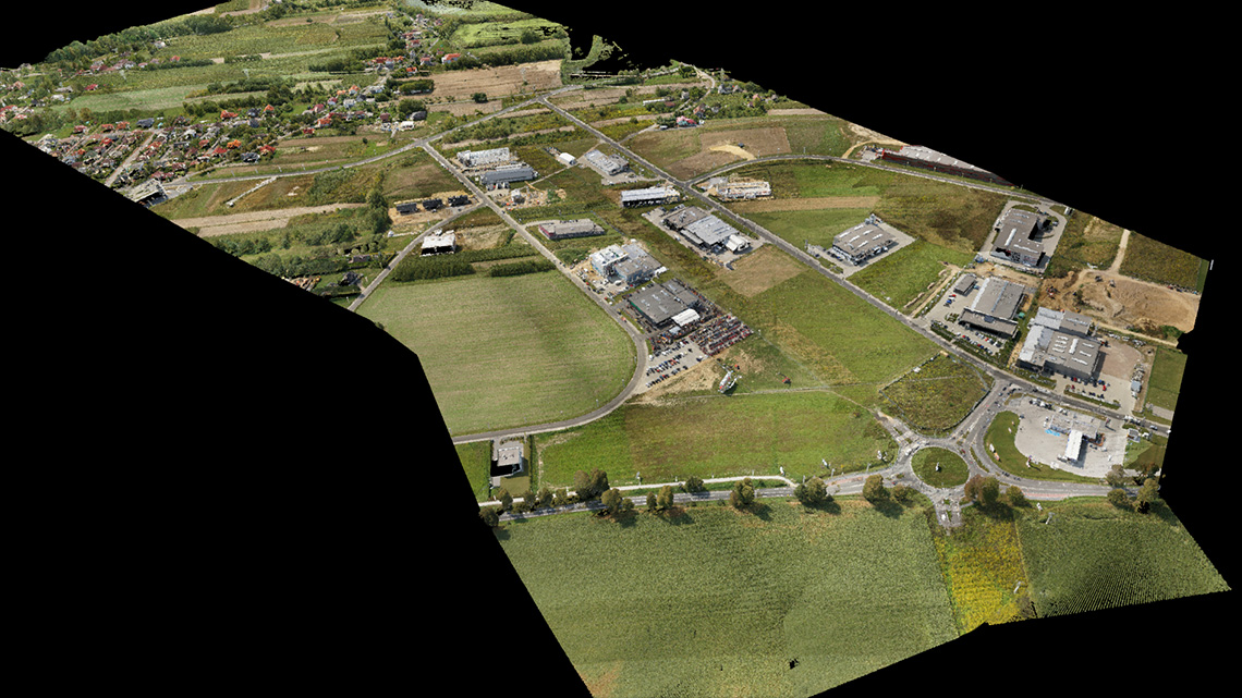
- obtaining high-resolution 3D models of terrain even in densely wooded and bushy areas during peak vegetation
- power line inspections with a detailed analysis of cable deflection arrows, the verticality of poles and condition of insulators
- searching for archaeological traces of human activity hidden in dense forests
- detailed analysis of the mass of spoil for the raw material mine together with monitoring the condition of the deposit walls
- monitoring of landslides, flood banks, hydrological objects together with a comparative analysis over time
- monitoring of hard-to-reach cliff coasts
- obtaining information on the condition and size of stand in the forests necessary for dendrological elaborations
- detailed models for large industrial facilities such as power plants, refineries, and large chemical processing plants
- creating models of historic objects to be renovated or threatened with destruction